Utah Gold and Gems
Final Sale
This item is part of our closing sale and is not eligible for return or exchange.
Thank you for being part of our journey. As we close this chapter, we’re offering 40% off all remaining inventory as a heartfelt thank you to the detecting and prospecting community that has supported us along the way. Happy prospecting!
- Description:
- Content:
-
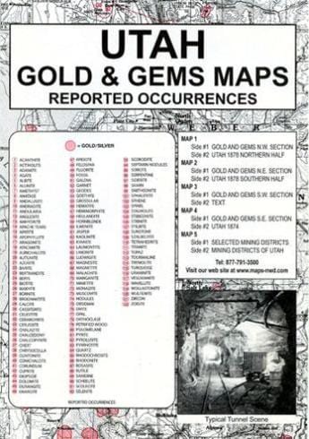
Many of the reported gold and gem deposits for Utah may be found in this map collection. The shaded areas show the reported occurrences of gold for that area. The numbered sites show the locations of gems described in the legend. These may change from time to time as new locations are identified. Although the reported occurrences of gold was less than the neighboring states, deposit sites were found in each of the four sections of the state. The most activity appeared in Beaver and Washington counties located in the southwestern portion of the state. The Froiseth map of 1873 not only shows some of the mineral deposits known at that time but early stage roads connecting town sites appear as well. The reverse side of map #5 is a must-read for the weekend prospector. Numerous mine locations including their names may be found in the 12 detailed map sections. An abundance of gem deposit sites for the state are also shown…over 120 types of rocks and gems! The area surrounding Milford in Beaver County as well as Emery, Grand and Wayne Counties should demand the attention of rockhounds as choice locations for rock and gem deposits.
-
Utah Gold & Gems Maps: Then and Now is a package, measuring 6.5″ x 9.5″, containing five maps printed on both sides . The very readable maps measure 17.5″ x 23″ when unfolded. This package includes:
Map #1 , side 1 is of the NW section. Side 2 is Utah 1878 northern half
Map #2, side 1 is of the NE section. Side 2 is Utah 1878 southern half
Map #3, side 1 is of the SW section. Side 2 is text
Map #4, side 1 is of the SE section. Side 2 is Utah 1874
Map #5, side 1 and side 2 shows selected mining districts

